
Welcome to South Carthage, TN
Who we are
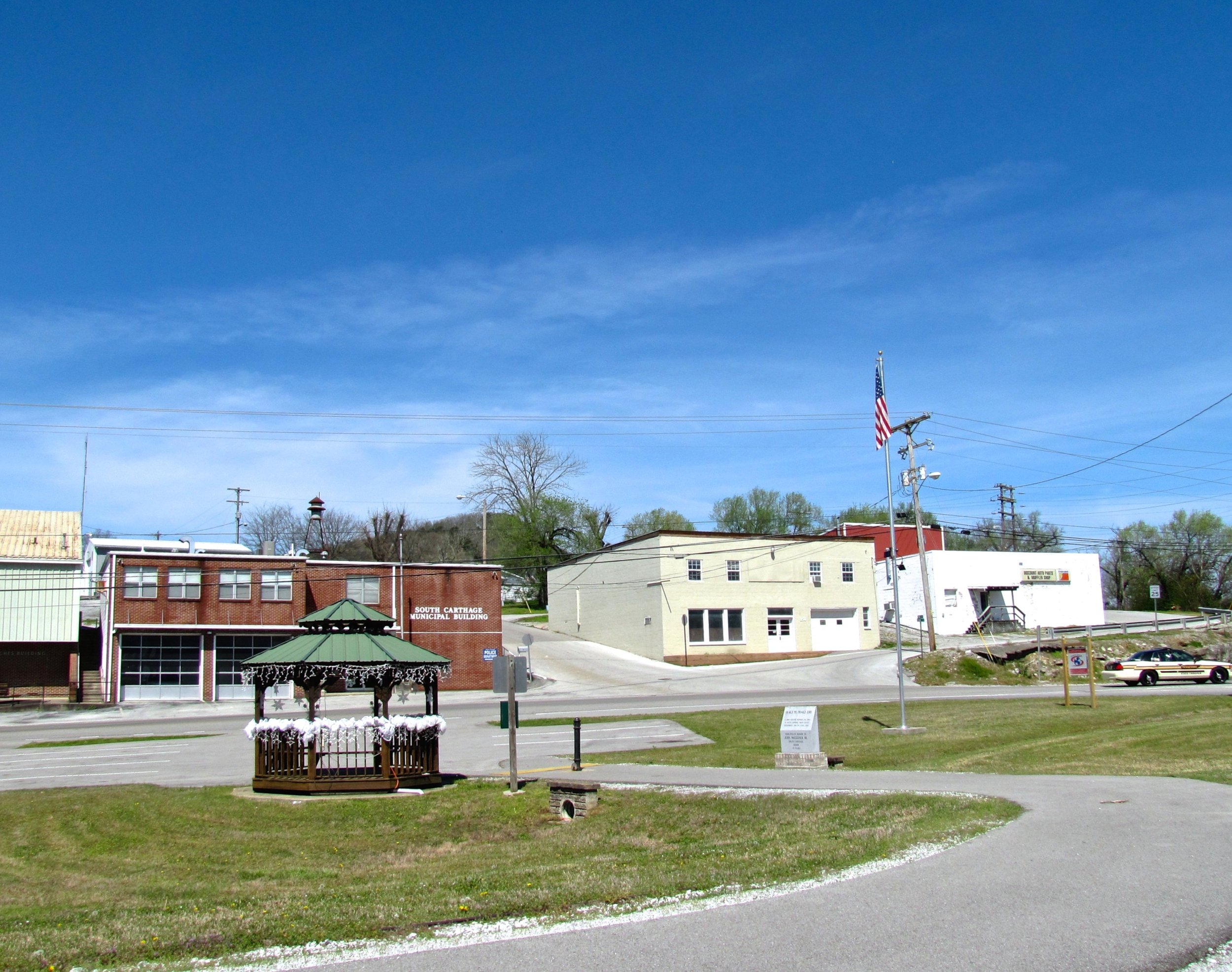
South Carthage is located at 36°14′44″N 85°57′29″W (36.245584, -85.958043).[6] The town stretches along the south bank of the Cumberland River from Goodall Island eastward to the river's confluence with the Caney Fork (river miles 306-309). South Carthage is traversed by U.S. Route 70N, and the highway's key intersection with State Route 25 and State Route 53 is located within the town's southeastern limits. The town is connected to Carthage via two bridges: the Cordell Hull Bridge on the west, and Veterans Memorial Bridge (which carries SR 25) on the east.